The newest portion of Smale Riverfront Park has opened and now we all get to actually walk in the footsteps of history by entering the circa 1840s foundations that were restored and left exposed for seating. But what history was here? Let's take a look...
 |
| June, 2015 by Digging Cincinnati History |
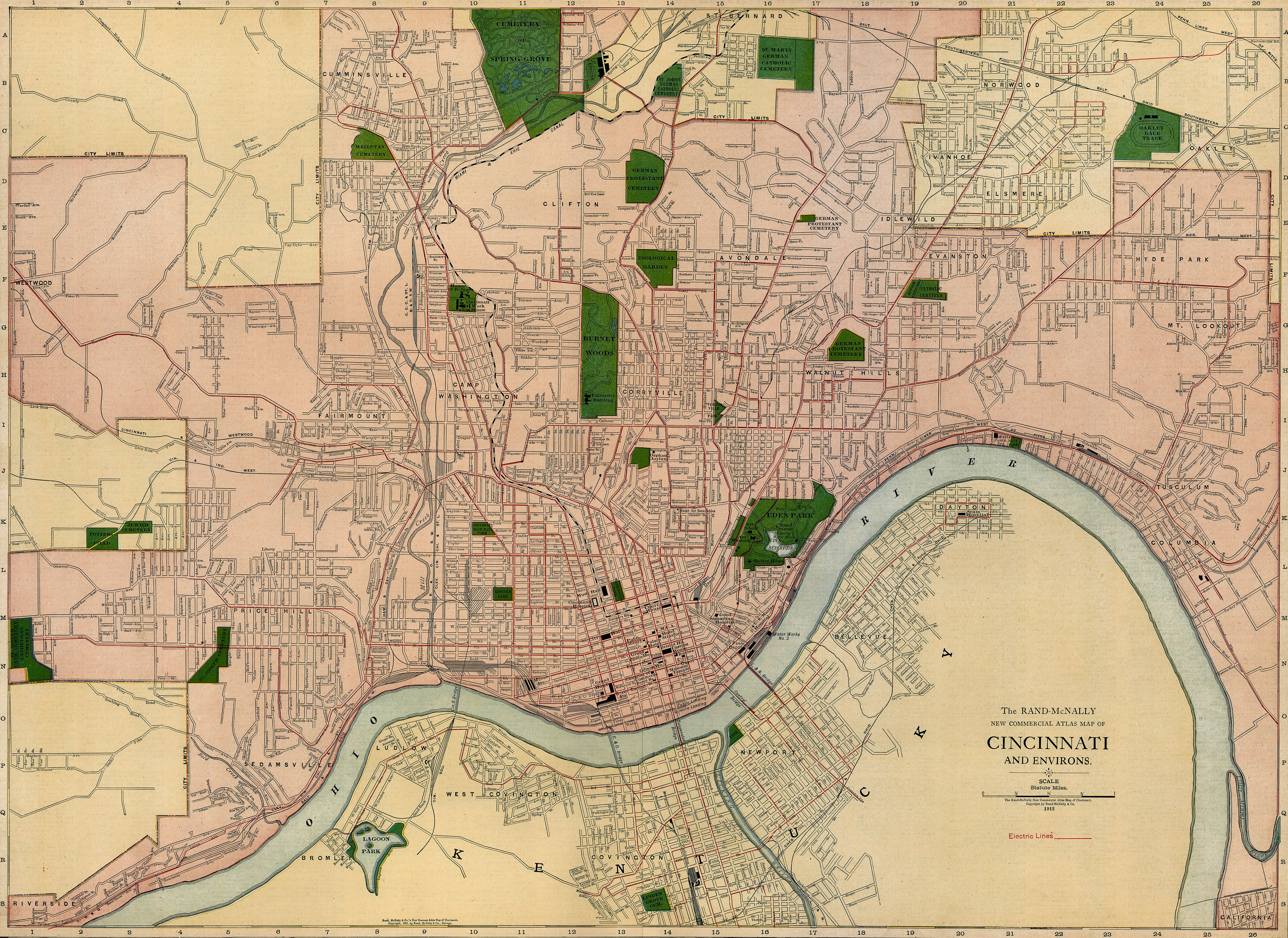
Although I was not present when the excavation occurred, using maps, deed records and city directories, the history of this location can be determined. This area was part of the first plat of Cincinnati, which can been seen in this map from 1802. The lots at the waterfront were typically 100 feet and the area encompassing Water Street between Vine and Walnut were Inlots 457, 458, 459 and 460. For this project, I concentrated on the area west of the Roebling Suspension Bridge, since this is where the foundations are today.
 |
| Plan of Town of Cincinnati, Israel Ludow, 1802 - Source |
Early paintings and drawings of the Cincinnati waterfront often shows the Public Landing area between Main and Broadway. Some images are available from the
Cincinnati History Library but I am unable to reproduce them here. However, the
Public Library of Cincinnati and Hamilton County does have the 1848 daguerreotype panorama available on-line and with a little sleuthing, I figured out some of the oldest buildings.
 |
| 1848, Charles Fontayne and William S. Porter daguerreotype panorama , Plate 1, - Source |
The Cincinnati History Library also has some maps available that also helped pinpoint the area. The deed records available also helped with some names of owners and leasees. So using this information, I went off to look at the
city directories, looking for people who lived or worked on the south side of Water Street, between Vine and Walnut, and specifically numbers 59, 61 and 63 Water Street, before 1896.
 |
| Some prominent Cincinnati names are here including Isaac Burnet in 1825 and John Yeatman in 1834. These locations are vague, since they do not specify north or south side of Water Street. |
 |
| These locations are vague, since they do not specify north or south side of Water Street. |
 |
| These locations are on south side of Water Street. |
Using deed and lease information, I could begin to determine exactly who lived in the lots in questions. I also determined using present-day maps with the bridge in place, that the addresses of the now-exposed foundations are most likely the western wall of 59 Water Street and the complete basement of 61 Water Street (pre-1896 addresss). In 1846, Issac C. Hull had his carriage making business at 59 Water and A. W & J. Patterson were rectifiers, people who blended raw whiskey to a certain taste, working a
t 61 Water Street. However in 1848-49 (the time of the daguerreotype), Patterson was running a produce houses and the next year, it was a feed store.
In 1850, the first floor of 61 Water Street became a coffee house, run by Matthew Keegan called the
Robert Emmet House until 1863. The 1853-1885 directories show that at 59 Water Street, there was a grocer named John Holon. In 1857,
Thomas Emery, who had arrived in Cincinnati in the mid-1840s, moved his candle and lard oil business from Water Street, between Walnut and Main to the southeast corner of Water and Vine. It appears he built new structures when the business moved, however, Thomas died in an accident at this location on December 30, 1857.
 |
The Cincinnati Daily Enquirer (1852-1872); Jan 1, 1858;
ProQuest Historical Newspapers: The Cincinnati Enquirer; pg. 3
|
Thomas' sons, Thomas, Jr. and John J. Emery continued the business along with the many real estate holdings the family began to acquire. The Emery family began building many apartment buildings, hotels, theaters and landmarks associated with Cincinnati, including Carew Tower. The candle and oil business continued at Water and Vine until 1886, when it was moved to Ivorydale.
 |
| This photo was taken during the construction of the Roebling Suspension Bridge, circa 1866. The buildings to the left of the bridge were located on Water Street. Thomas Emery's candle and oil business was located in the two buildings at the corner of Water and Vine, outlined in red. The area of the exposed foundations are outlined in blue. - Source |
During this time, Emery owned all the land and building from Vine to the Suspension Bridge, but only appears to have used southeast corner for their business, up to 63 Water Street. The building at 59 Water Street was a residence for a variety of laborers between 1857 and 1860.
After the Emery's moved, a variety of businesses used these buildings (see the maps below), including the J. Weller Company, who were in the peanut and pickle business, the Bodmann's Tobacco Company,the F. A. Laidley Company (pork packers) and a bag company. In the early 1920's the Folz Grocery & Baking Company took over the buildings and in 1928 it was sold to the Kroger Grocery & Baking Company. Emery's continued to own the land and buildings until 1926.
 |
| 1887 Sanborn Insurance Map - Source |
 |
| 1891 Sanborn Insurance Map - Source |
 |
| 1904-1930 Sanborn Insurance Map - Source |
 |
| 1950 Sanborn Insurance Map - Source |
Kroger owned these buildings until 1960, when they were sold to Hamilton County. Other uses had been considered over the years but many people remember this land as parking lots to attend Cincinnati Reds and Bengals games. Today we get to enjoy our riverfront as a wonderful park, bringing us back to the river, where we can see where Cincinnati began.
Enjoy these images from the past into the present!


