
 |
1847 Map of Hamilton County, Ohio by attorney William D
Emerson, C. S. Williams and Sons publisher - Source
|
 |
| 1869 Titus Map - Source |
 |
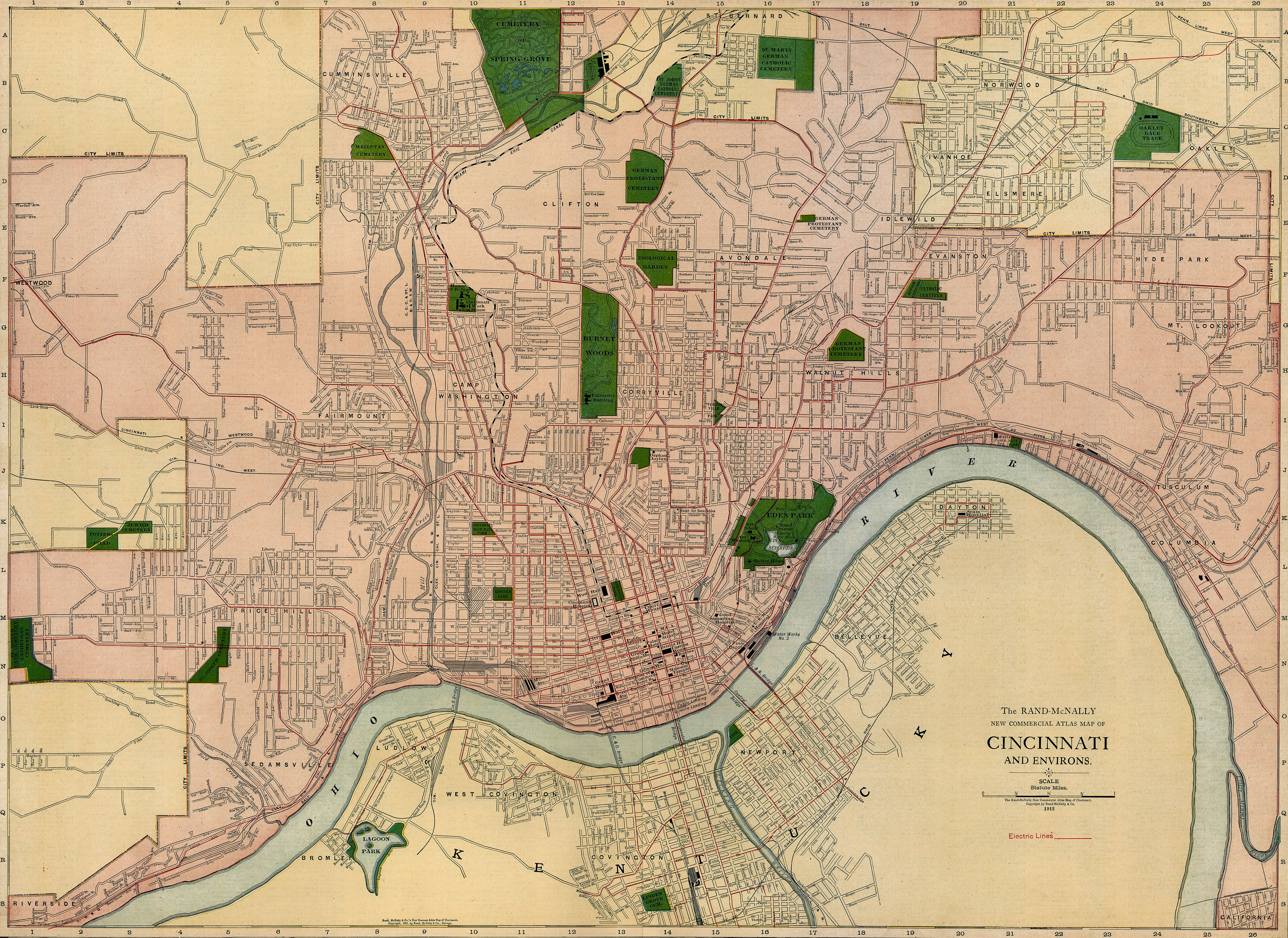
| 1912 Map of Cincinnati - Source |
 |
| 2015 Google Map |
|
1869 Titus Map
|
2015 Google Map
|
|
Chestnut
St
|
Foraker
Ave
|
|
Sycamore
St
|
Lincoln
Ave
|
|
Chapel
St
|
Chapel
St
|
|
Kemper
St
|
Yale
Ave
|
|
Locust
St
|
William
Howard Taft Rd
|
|
Vine
St
|
Myrtle
Ave
|
|
Beech
St
|
Kemper
Lane
|
|
Maple
St
|
Park
Ave
|
|
Elm
St
|
Victory
Pkwy/Alms Pl
|
|
Mulberry
St
|
Monfort
St
|
|
Linden
St / Willow St
|
Preston
Ave
|
No comments:
Post a Comment
These comments are moderated before published. If you are trying to reach the author of this blog, use the Contact Us form to the right.
Note: Only a member of this blog may post a comment.